

ArcGIS Pro, ArcGIS Online, ArcGIS Enterprise, Portal, Experience Builder

ArcPy, Esri Python API, geoprocessing scripts, automated reporting

Map design, spatial analysis, parcel mapping, addressing, planning

Node.js, Express, Python, PostGIS, SQL, MongoDB, RESTful APIs

JavaScript, HTML/CSS, React, jQuery, Leaflet, OpenLayers

AWS, Git/GitHub, Docker, Linux, Enterprise Geodatabases

Upgraded custom geoprocessing tools, wrote automated database scripts, and performed regular enterprise GIS maintenance.

Cartographic map creation, Parcel Fabric maintenance, and technical support for County Assessor workflows.

Utility infrastructure data management, spatial analysis, and ongoing GIS operational support.

Development review, COGO (Coordinate Geometry) mapping, data editing, and maintenance.

Waypost is an open-source, lightweight, self-hosted feature flag management system that specializes in A/B Testing, providing analytical insights for your experiments on both the front-end and back-end.
Read the case study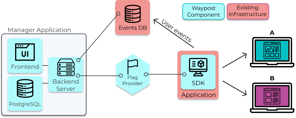
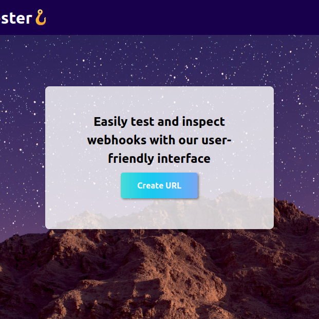
Application that allows you to test webhooks with fake endpoints. Built with React, Node, and Mongo.
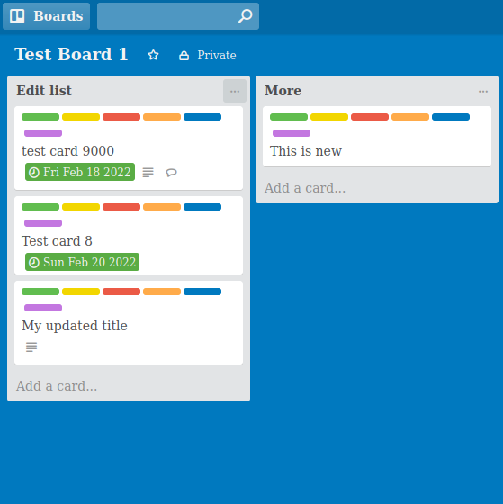
A task managment application inspired by Trello. Built with Node, Express, MongoDB, and React/Redux
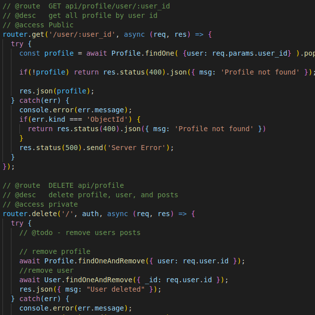
An API for a social media platform for software developers. Created using Node/express and React.